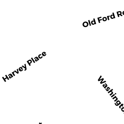
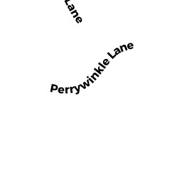
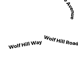
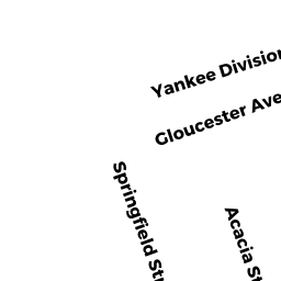
9 OLD FORD RD
Owner Information
WILSON JAY H & LESIA M
9 OLD FORD RD
GLOUCESTER, MA 01930


Property Details
9 OLD FORD RD is classified as a Single Family Residential (Cape cod).
The primary structure on this property was built in 1941. There are 2,529ft2 of built area within this property. There is 1,498ft2 of residential/living space within this property.
9 OLD FORD RD is valued at $376,200. The land is valued at $126,300 and the structures are valued at $240,400. There is an additional valuation of $9,500 on this property.
This property is in Zone R-10. Confirm with local Zoning Board authorities to ensure there are no overlays or other easements on this property.
The most recent deed for 9 OLD FORD RD is recorded at the local registrar in Book 15620, Page 148. 9 OLD FORD RD was last sold on Thursday, April 22, 1999 for $179,000.
Assessment data from fiscal year 2022.
Flood Data
According to the FEMA National Flood Hazard Layer, this property does not appear to be in a flood zone. It may also be in an area not yet reviewed. Nonetheless, confirm this information prior to taking any action.
To view the flood hazards around this property, create a FEMA "Firmette" Map of the area around 9 OLD FORD RD.
Broadband Internet Providers
| Provider | Type | Bandwidth (mbps) | |
|---|---|---|---|
| VSAT Systems, LLC. | Satellite | 2 | 1 |
| HughesNet | Satellite | 25 | 3 |
| GCI Communication Corp. | Satellite | 0 | 0 |
| T-Mobile | Fixed Wireless | 25 | 3 |
| Cape Ann Communications | Fixed Wireless | 20 | 20 |
| Comcast | Cable | 1000 | 35 |
| Verizon New England Inc. | DSL | 10 | 1 |
| Viasat Inc | Satellite | 100 | 3 |
Broadband service provider data from December 2020.